

You are using an out of date browser. It may not display this or other websites correctly.
You should upgrade or use an alternative browser.
You should upgrade or use an alternative browser.
Post your photography!!
- Thread starter uofmtiger
- Start date


Champco
Super Member

Found shelter for the night. Woke up to this. Had to take a pic. This building was a dorm which housed Lumberjacks, Railroad builders, Road builders. Was owned by a family who lived in the south. All had moved except the oldest grandson who we met. He said he was dying and his niece would be taking over in the spring. Most likely the building is gone today.


Champco
Super Member
Waking and walk over, we started back looking for breakfast. Sparse accommodations. Many closed down cafes so kept driving and came across Hawk Ridge.
On the right day thousands of Raptors of all sorts converge here following the coast of Superior. This was not the day. Desperate for a bird shot the dozens of people seemed to need to announce anything with wings from miles away with high powered glass. But the light was bright, colors spectacular. Where the lake meets the sky miles away and to the south you can see Wisconsin thru the haze as we zoom into Duluth & Superior. Signs of life are my wife who wandered into the color and a few large birds a long way up. So I took what they gave me.


On the right day thousands of Raptors of all sorts converge here following the coast of Superior. This was not the day. Desperate for a bird shot the dozens of people seemed to need to announce anything with wings from miles away with high powered glass. But the light was bright, colors spectacular. Where the lake meets the sky miles away and to the south you can see Wisconsin thru the haze as we zoom into Duluth & Superior. Signs of life are my wife who wandered into the color and a few large birds a long way up. So I took what they gave me.
mhedges
Super Member
 Rusty Dodge by Mark Hedges, on Flickr
mhedges
Super Member
 Valve wheels by Mark Hedges, on Flickr
mhedges
Super Member
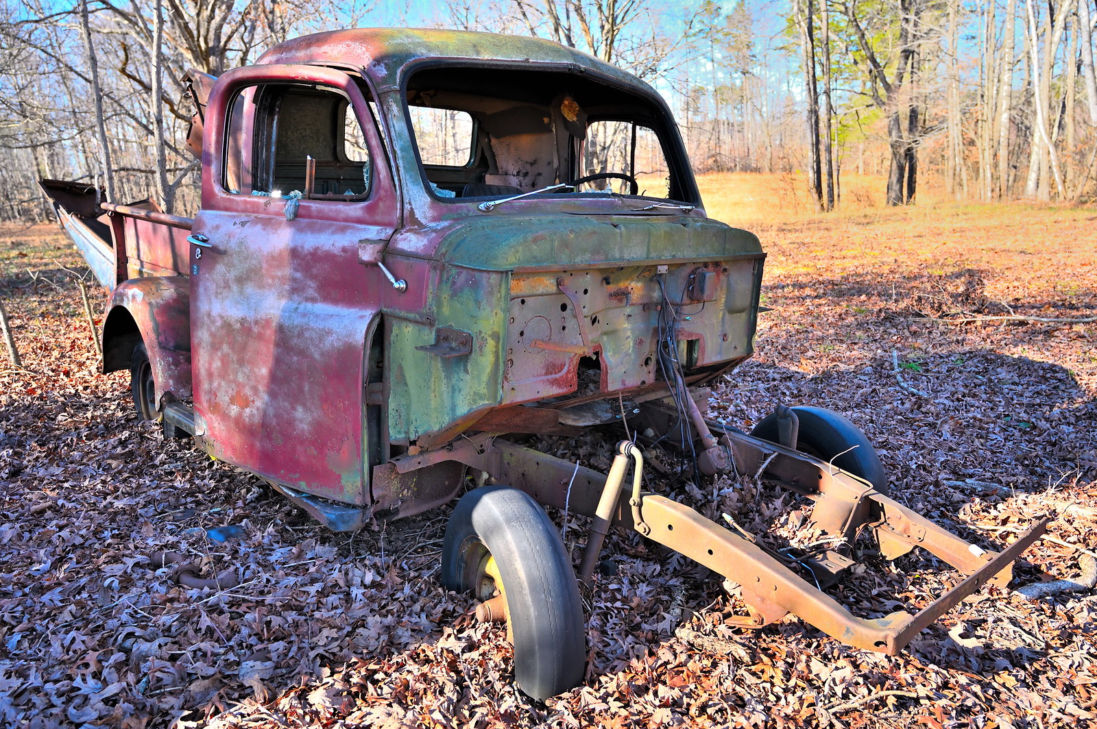
 Dodge Fluid Drive by Mark Hedges, on Flickr
mhedges
Super Member
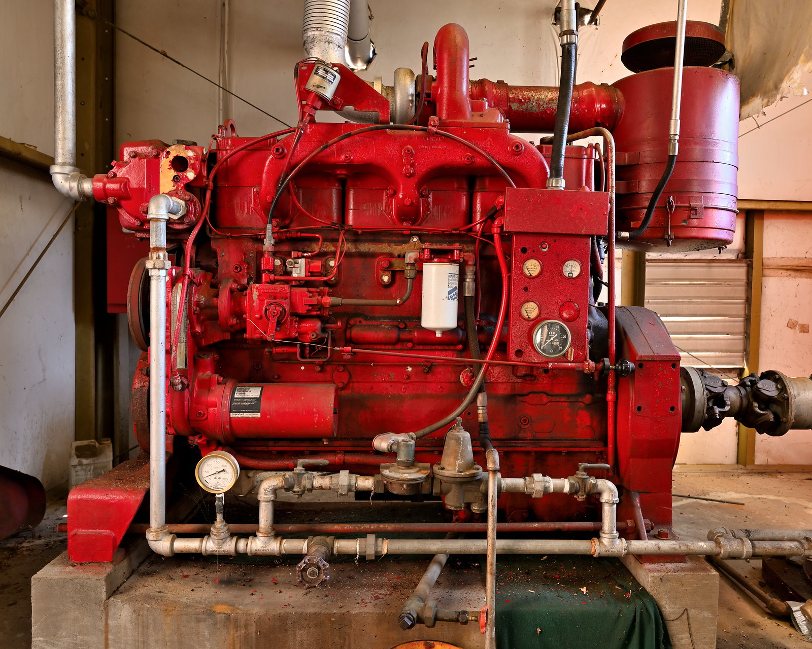 Cummins Diesel fire pump engine by Mark Hedges, on Flickr
Similar threads
- Replies
- 72
- Views
- 5K